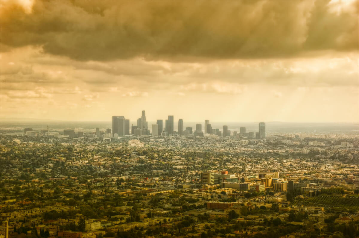
Looking out over a particularly beautiful sunset dipping below the crisp angular buildings of downtown Los Angeles, it is difficult to believe a singular bomb could destroy many square miles of buildings, houses, and parks, not to mention the eight million people calling the city their home.
Our only scrap of reality to help wrap our heads around this concept are pictures of Hiroshima and Nagasaki, the only two inhabited locations on which nuclear bombs were dropped, and the devastation on those two cities was enormous. What would that look like in your town?

Usually, we would have to wait for a nuclear apocalypse to find out, but thanks to Alex Wellerstein and his Nuclear Secrecy Blog, we can get an idea of what the effects of a nuclear explosion would be in your hometown. Not only that, but it can estimate fatalities and injuries based on location.

Morbid as it may sound, it is a fascinating look at whether or not you would survive a nuclear blast, depending on how close you live to a selected attack site.
On NukeMap, you can select a target, enter a bomb yield (in kilotons) or select from an alarmingly long list of actual weapons in the arsenals of the world’s countries, from a crude terrorist’s “dirty bomb” all the way up to the world’s largest nuclear weapon ever tested, Russia’s 50-megaton “Tsar Bomba.”

Source: nuclearsecrecy.com/nukemap/
Editor’s note: A version of this article first appeared in the June 2015 issue of American Survival Guide.


