

A magnitude 7.1 earthquake rocked eastern California on July 5, 2019 at 8:19 pm (local time). It is the largest earthquake to hit the region in nearly 20 years and there are concerns that aftershocks could follow in the weeks and even months to come.
The earthquake hit southwest of Searles Valley, near Ridgecrest, CA. According to government agencies, it was the result of a shallow strike slip faulting in the North America plate crust. The quake occurred around 34 hours after and 7 miles northwest of a magnitude 6.4 foreshock in the same region.
No fatalities or major injuries were reported after the tremor, which shook an area from Sacramento to Mexico and prompted an evacuation of the Navy’s largest single landholding, Naval Air Weapons Station China Lake in the Mojave Desert.
A likely explanation for the apparent lack of widespread damage is the remoteness of the area where the earthquake occurred. Despite this, President Donald Trump has called Governor Gavin Newsom and offered federal support for rebuilding efforts.

Major General David Baldwin said the California National Guard is sending 200 troops, logistical support and aircraft. He added that the Pentagon had been notified, and the entire California Military Department was put on alert.
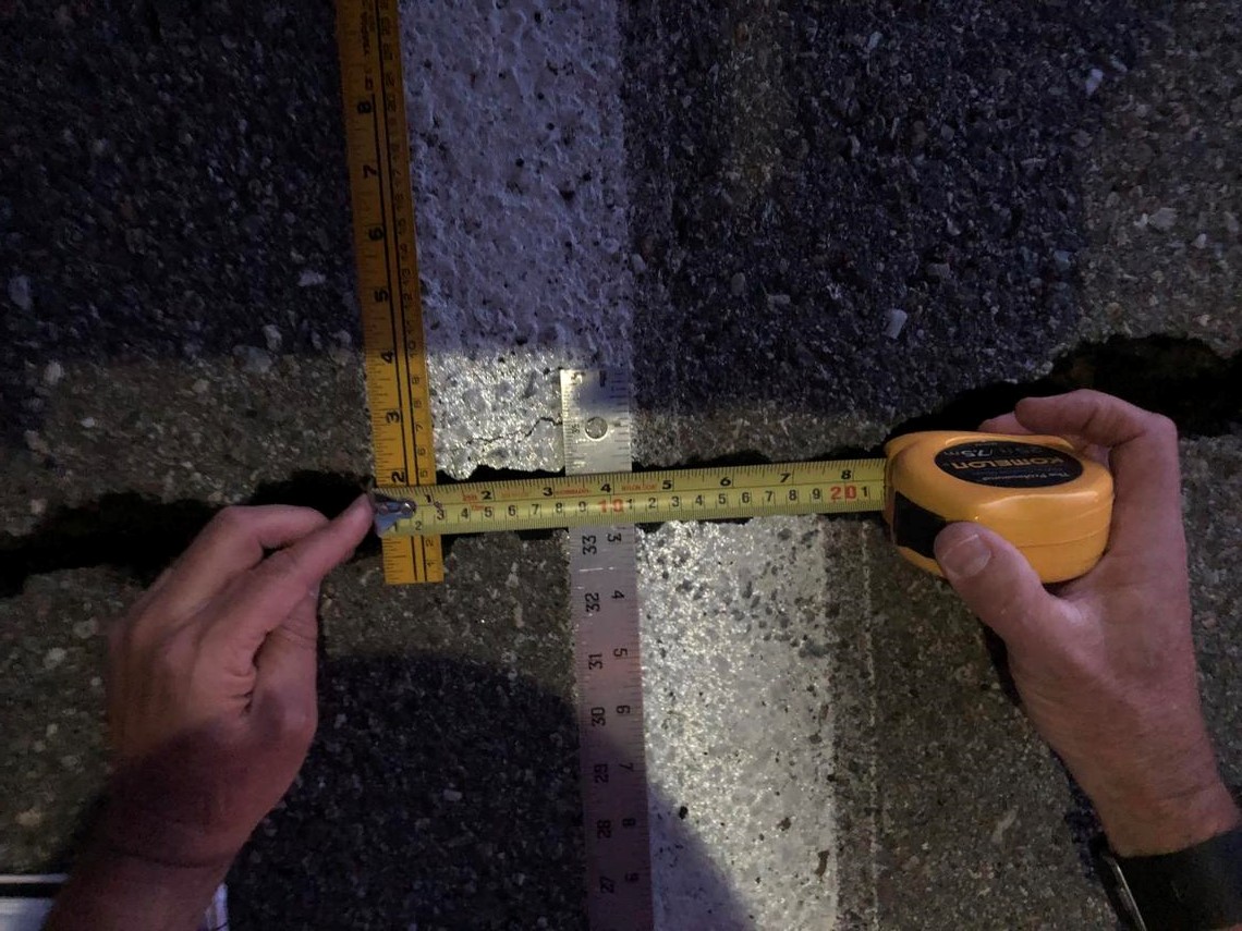
State highway officials shut down a 30-mile section of State Route 178 between Ridgecrest and the town of Trona, a town of about 2,000 people southwest of Death Valley, due to a rockslide and severe cracking, leaving the town temporarily cut off.

Lucy Jones, a seismologist at the California Institute of Technology and former science adviser at the U.S. Geological Survey, said the tremor probably ruptured along about 25 miles of fault line and was part of a continuing sequence. The quake caused a new rupture in the Earth’s crust that could be seen from space.
Egill Hauksson, another California Institute of Technology seismologist, also said that scientists believe the continuing sequence could produce more than 30,000 quakes of magnitude 1 or greater over six months, adding that although the probability of a magnitude 7 over the next week is about 3 percent, one or two magnitude 6 earthquakes are expected.
If you are living in an area that is prone to strong earthquakes, make sure to perform hazard checks on your home and inspect its structural integrity. You can find more details on how to perform these checks as well as other tips in American Survival Guide’s tips on preparing for an earthquake.