

As volunteers searched for missing hiker Amanda Eller, they were also tracking the ground they had covered while organizing their data on a specialized digital map to see where they should look next.
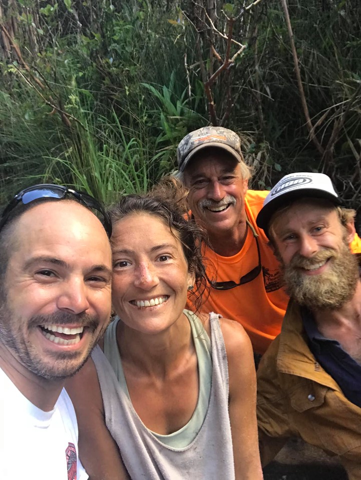
The effort paid off and the technology led the volunteers to Eller’s location, who was found dehydrated, hungry and injured after surviving her 17-day ordeal in the forest. Her rescue highlights how new technology can be used to more efficiently find missing people in the wilderness.
The system helped show when the Eller volunteers had covered a 20-mile radius around her car. After that, the search went to the air and a helicopter was sent farther into the forest, where they found the missing 35-year-old.
Most search and rescue teams use digital maps, which could mean anything from Google Maps to specialized software like SARTopo, which is what California search and rescue experts recommended to the Eller search organizers and volunteers.

With their GPS data, the searchers saw that they were covering the same areas repeatedly as natural barriers like cliffs blocked their path. The organizers then started giving the volunteers specific areas to search so the teams could cover more ground and make the search more accurate.
When searchers ran into obstacles like cliffs or pools of water, they were asked to place digital pins to mark the location so drones, rappelling experts or divers could later check the marked area.
Organizers also provided GPS data to the California team and used SARTopo to overlay the data on topographical maps, enabling everyone involved to see which areas had already been covered as well as those that still need to be checked.
Last month, search teams used SARTopo to locate a 67-year-old hiker who had deviated off a trail in a state park near San Francisco. The hiker was spotted by a California Highway Patrol airplane equipped with an infrared camera.
Searchers also used it last March when 100 volunteers searched for 8-year-old Leia Carrico and her 5-year-old sister, Caroline, who got lost near their home in a Northern California forest.
After the technology helped find his daughter Amanda, John Eller announced a plan to donate software and other equipment to Chris Berquist, the volunteer leader in the search. The hope is that this will reduce the chance of another situation like Amanda’s.
“We saw a huge need. And we feel so lucky with everything everybody did for us, so we’re looking to give back,” John Eller said.
While SARTopo can only get better and more software and apps will be developed to help in search and rescue operations, basic navigation is still a must-have skill that everyone should learn. Teaching children what they can do in case they get lost can also help them survive longer and make it easier to find them.