

Image Source: https://images.pexels.com/photos/29666809/pexels-photo-29666809.png
Is there anything like packing up the rig, cranking up your favorite playlist, and pointing the hood toward America’s wild places? We think not. Americans are realizing this. Most of them consider seeing wildlife in its natural habitat to be their most memorable family vacation experience.
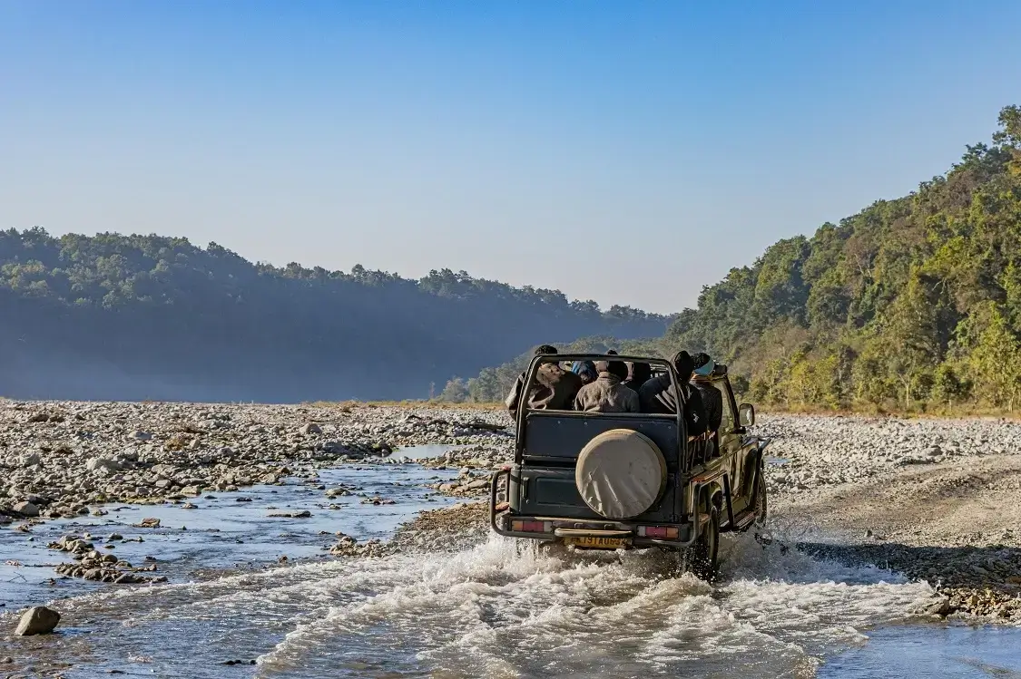
The badlands of South Dakota, the snow-capped passes of Montana’s Beartooth Highway, and the red-rock canyons leading into Utah’s national parks are some popular routes to reach the wild.
Yet getting there often means navigating high-risk corridors. These narrow two-lane roads are famous for dropped bars and sudden storms, where the next gas pump might be hours away.
Don’t worry; we are here to help you prepare so that the journey is as thrilling as the destination. In this article, we will share a few road trip tips that can turn those high-stakes drives into safe, unforgettable adventures.
#1 Track Localized Weather Patterns with Precision
Extreme weather events, like mountain blizzards or desert flash floods, occur without any warning. In high-risk corridors like the twisting roads into Yellowstone or the lonely stretches of West Texas, weather can switch from sunny to whiteout in minutes.
Track weather patterns before you head out. Bookmark the National Weather Service (weather.gov) and zoom in on the exact county or even the specific mountain pass you’ll cross. Pair it with the Weather Underground app, which pulls data from backyard personal stations.
Download the National Oceanic and Atmospheric Administration (NOAA) Weather Radio app too; it works offline. Once your alerts are synced, they stay functional offline, delivering critical updates even when cell towers are nowhere to be found.
On the road, check conditions every couple of hours. State Department of Transportation (DOT) websites show real-time road closures, rockslides, and avalanche risks.
You must not skip this at all because weather-related conditions are a major contributor to traffic fatalities. On average, roughly 745,000 crashes each year are weather-related. These crashes lead to over 3,800 deaths and 268,000 injuries.
#2 Adapt Your Driving Style to Shifting Terrains
The driving skills that get you safely through city traffic and highway merges are only partially useful in high-risk corridors. That is because the road surface is rarely consistent. You must shift your driving style according to the road.
On pavement-to-gravel transitions (common on routes to Death Valley or Glacier National Park), ease off the gas 100 yards early to avoid fishtailing. In mountainous terrain, use lower gears on descents to protect your brakes. Roads with narrow lanes, sharp curves, limited shoulders, and drop-offs further amplify the risks. These contribute to higher fatality rates.
Even urban departure points carry real danger before you hit the open road. Cleveland, Ohio, is an example. About 75 people were killed in Cleveland traffic crashes in 2024. That is up from 59 in 2023. If a collision derails your trip before you ever reach the trailhead, you must consult an experienced car crash attorney in Cleveland, Ohio.
According to Piscitelli Law Firm, a Cleveland car accident attorney provides the steady legal guidance needed to hold negligent parties responsible while helping you secure rightful compensation. In short, terrain-aware driving is always your best defense.
#3 Manage Your Fuel With Serious Margins
High-risk corridors, such as the stretches of Nevada’s Highway 50 (“The Loneliest Road”) or Montana’s Highway 212, to the wild are famous for fuel scarcity. You must plan your fuel with a large safety margin.
Research from Coltura shows that while rural motorists make up only 18.8% of U.S. drivers, they consume 25.6% of all light-duty gasoline.
A rule of thumb is to never let your tank drop below half. Better yet, aim for a 50% safety margin. If your SUV gets 300 miles per tank, refuel every 150 miles max.
That margin matters especially in places like eastern Oregon’s high desert or the empty stretches of West Texas. It determines whether you successfully reach a ranger station or spend a cold night stuck on the shoulder.
Before you roll, calculate your route’s fuel stops using apps like GasBuddy or the AAA TripTik. But do not rely on them alone. Call ahead to confirm station hours.
Many rural pumps close at 8 p.m. or run out on weekends. To be on the safe side, carry a 5-gallon jerry can filled with the correct octane.
The Road to the Wild Starts with a Solid Plan
Road-tripping to the wild is about freedom, discovery, and that unbeatable feeling when you finally step out of the car and hear nothing but wind and birdsong. But it only stays magical when you understand the risks.
You will not only reach your destination safely, but also enjoy every mile of the adventure if you keep these things in mind. Now, go grab your keys and chase that horizon. You will return with nothing but sweet memories.