

LOOK TO THE HEAVENS MY SON…
From the first time a Polynesian looked up into a dark night sky from a log canoe for the star his grandfather taught him would point the way to a distant island, to Columbus using Polaris to find a westbound line of latitude to follow to India, to Peter Pan following the “second star to the right” to find his way back to Neverland, mankind has used the stars to help find its way.

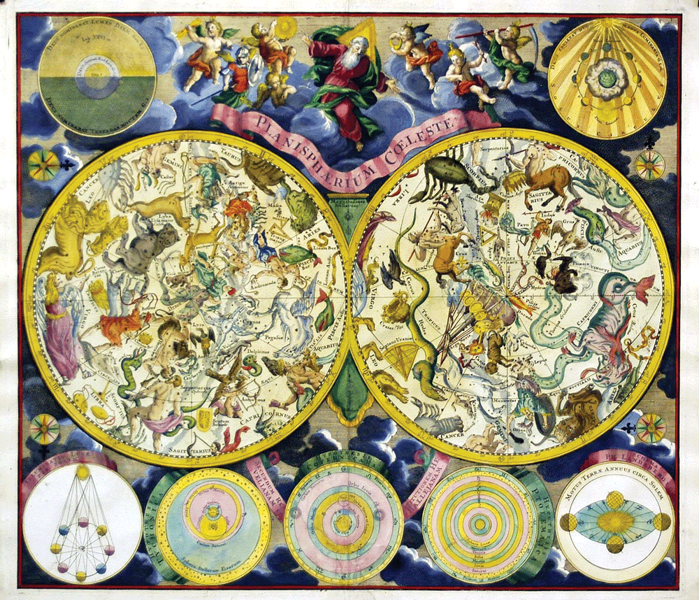
HISTORY OF CELESTIAL NAVIGATION
From the earliest of times, mankind found that some stars stay in the same spot in the sky every night while others rose and set on the horizon in the same place each night. With this knowledge they could find their way at night if they knew how their destination related to that star and tell cardinal directions based on the movement of the stars. In the Greek poet Homer’s epic, The Odyssey, the nymph Calypso used this knowledge when she cautioned Odysseus to keep the Bear (Ursa Major) on his left hand side and to monitor the position of other key constellations as he left her island returning to his home in Ithaca. Most civilizations started along bodies of water like rivers, lakes, or coastlines. As a result most growing civilizations also owed their growth to the economic benefits of seagoing trade, which necessitated learning how to navigate by the stars.

The Polynesians, like most seafaring cultures, made use of maps. Theirs were stick charts that showed major routes, winds, currents, and islands which were used in concert with their knowledge of the stars to travel vast distances across the open ocean in search of food, trade, and new lands. Their wanderlust led them from the shores of Asia all the way to Samoa and the Hawaiian island chain. Chinese navigators were using latitude and longitude long before their European cousins to document where their journeys took them and the precise locations of new lands and ports. When European captains reached China they were amazed at the level of detail the Chinese mariners had in their maps and took that knowledge back to Europe. The Europeans took the astronomical knowledge of the Chinese and combined it with their own skills and mechanical knowledge to create the earliest practical sextants and seagoing chronographs which allowed sailors to accurately determine both latitude and longitude.


USING THE STARS TO TELL DIRECTION
Finding direction at night is very simple and the sky is clear. In the northern hemisphere, the easiest way to find North is to look for the North Star, or Polaris, which always appears to be over the northern pole. Since it sits at the “top” of the sky its position will not change during the night, nor will it change with the seasons. In the southern hemisphere people look for the Southern Cross. Follow the long axis of the “cross” five times its length and you will reach a point that is above the southern pole. Both of these pole stars are high enough above the equator that they are always visible in the night sky, regardless of the time of year.
A second method for determining direction from the stars is to look at their movement. Just as you can use two sticks and the movement of the shadow during the day to create an East-West line, you can do something similar by watching the movement of a bright star at night. First, find the brightest or most easily recognizable star in the night sky. Then, push two sticks into the ground, one longer than the other, so that you can aim over the top of them at the star you picked. After waiting approximately 15 minutes the star will appear to have moved from where it was when you aimed at it originally. If the star moved up it is in the East. If it moved down it is in the West. If it moved left it is in the North. If it moved right it is in the South. These rules apply for the northern hemisphere, so reverse them for the southern hemisphere.
USING THE STARS TO TELL LOCATION
As time passed and mankind first journeyed farther and farther from the coastline and then began crossing major bodies of water for exploration or trade or discovery, the need for more precise navigational fixes brought the use of latitude and longitude to describe where things were located and the creation of tools like the astrolabe and the sextant and the seagoing chronometers to determine a ship’s location.

The first half of that positional fix is the longitude. Longitude is shown by the long lines that run the length of the globe from pole to pole and represent degrees east or west of the Prime Meridian, which runs through the British Royal Observatory at Greenwich outside of London, England. Longitude is measured from zero degrees at the Prime Meridian through to one hundred and eighty degrees on the opposite side of the Earth. Since the Earth moves at a constant rate of fifteen degrees per hour you could multiply the difference in hours between the time at the Prime Meridian and your local time by fifteen degrees and know your longitude.
The second half of a precise navigational fix is the latitude. Latitude is shown by the lateral lines on the globe north or south of the Equator. Latitude is measured from zero degrees at the Equator up through ninety degrees at the North or South pole. Since the North Star stays above the northern pole, and the Southern Cross above the southern pole, the angle between the horizon at sea and the star is the same as your latitude; zero degrees on the Equator, ninety degrees (straight up) at the poles, and something in between elsewhere on the globe.

LEARNING TO FIND THE STARS
A web search on the term “celestial navigation training” will return a number of online or classroom courses that will teach you how to navigate by the sun and stars, as well as their locations in the night sky. You can also find star charts that will show you the location of the major stars and constellations during each of the seasons of the year. My favorite star chart is actually an app on my smartphone, the Google Sky Map. To use it you simply open the app and hold your phone above your head at look at the sky. The app shows the stars that are in the sky above you with their names and other information.

Electronics break, batteries die and the things we use to make life easier fail. Learning how to use the stars and the sun to know where you are and which way to go are skills we should all develop and keep in practice. During the 1950’s, a lecturer named Henry Neeley at the Hayden Planetarium in New York City probably said it best when he noted, “the navigational use of the stars will continue to be a valuable asset for many years to come. In spite of all the scientific aids that have been developed to do the navigating by robot science, the ancient stars will still be a ‘must’ for navigator or pilot.” So, make use of your new skills on a daily basis, even if it is just looking up at night and picking out the constellations. It’s one of the pleasures of being one with the outdoors, so enjoy it.
Editors Note: A version of this article first appeared in the February 2015 print issue of American Survival Guide.