

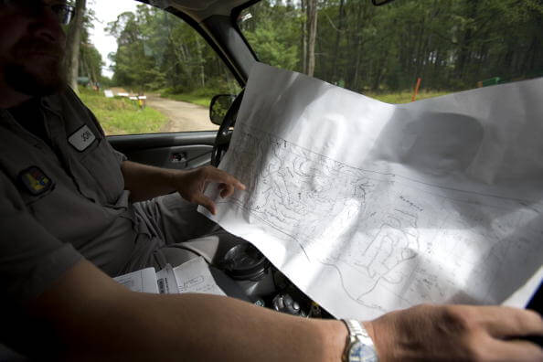
When traveling off the beaten path, getting from point A to B is not as simple. The terrain and other land features must be considered, and this is where a topographic map comes in.
Topographic maps have been around for a little over 100 years, thanks mainly to the United States Geographical Survey (USGS). With practice, patience, and actually going outdoors and comparing features you see with what’s on the topo and using the relevant data, you can become faster and more efficient at traveling. Knowing the terrain gives you a better idea as to how far and how long it will take to get to your destination, and plan the shortest and safest possible route. This guide will show you the basics of reading a topographic map. Do note that this is applicable only to “civilian-style” maps. Topos used by the military are way more complicated and require a different reading technique.
What is a topographic map?
If topography is the study of the Earth’s surface, a topographic map (or “topo”) is a 2-dimensional representation of a 3-D area. These days, such maps are usually made or updated from photos taken from the air or via satellite. Topographic maps are similar to the aerial photos they’re based on, but designed to be easier to read and offer more relevant information.
Why you need a topo
Topos are indispensable tools in navigating unfamiliar territory. These kinds of maps give you a better idea of the terrain you’ll have to deal with, what physical features there are, and the advantages and disadvantages they’ll provide. When hiking or camping, it’s handy for planning travel and hiking routes, as well as picking the best camping spot. For survival situations, a topo enables you to know the lay of the land and its resources, as well as map the fastest way to get out of dodge.
Map scale
First, you need to determine the scale of your topo map so you have a clearer idea of distances between points, and a better understanding of how easy or difficult it will be to traverse certain obstacles like cliffs, mountains, ravines, etc. You can find the scale on the bottom portion of the map. The measurement on topos is often in inches. For example, if a scale of 1:24,000 is indicated, this means that for every inch on the map, it’s 24,000 inches (or 2,000 feet) on the ground.

Contour lines
The main feature of a topo is its “contour lines”. These lines often snake around the map, and represent changes in elevation. The closer contour lines are, the more rapid the change in elevation, therefore, the steeper the slope. All contour lines always close in a circle or loop, as long as the map’s size and scale allow for it. Contour lines are also accompanied with numbers, and are measured in feet above sea level. So if you see a contour line with “2500” on it, that means the contour line represents an area 2,500 feet above sea level. Keep in mind that every point on that line has the same elevation. To avoid clutter, not all contour lines have numbers; to find the elevation of an unmarked contour line, refer to the map’s scale. Look for the “contour interval”. If the contour interval says 100 feet, then the elevation of the contour line above one marked “2500” is 2,600, followed by a linear progression in the succeeding contour lines .
Map legends
Besides elevations, topos also provide a wealth of information about an area, information that you actually need. Physical features are represented using lines or shapes colored differently from the contour lines. Some lines may be dotted, have “x’s” or “+’s”on them. Refer to the map’s legend to see which physical feature is symbolized by what sort of line or shape. Green lines commonly refer to vegetation, blue to bodies of water, and black to cultural (man-made) structures like roads, buildings, and railways. Open white spaces indicate barren areas. Note that weather can greatly impact the nature of the contour lines; in winter, snow-capped mountains are represented by blue contour lines, so don’t mistake them for a lake or pond on top of a mountain.

Talking about relief
A relief is a steep sloping area, and is symbolized by shaded areas. The heavier the shading, the steeper the relief slopes. Reliefs are often brown in color, since they’re actually “modifications” to contour lines. Reliefs make it easier to visualize mountains, hills, and valleys, and are also helpful in plotting safer routes.
In conclusion
Knowing how to read a topographic map is an essential navigation skill, whether for recreational camping or SHTF scenarios. Note that the tips listed above are just the tip of the iceberg. Actual navigation using a topo map requires practice and learning, as seen here.
